Global Site
Breadcrumb navigation
Smart farming
management
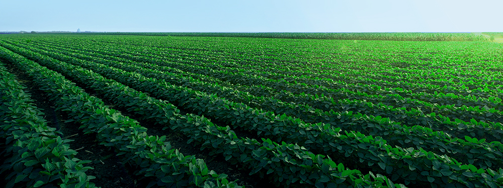
CropScope innovates agricultural operations with digital agriculture utilizing AI and data analytics
Optimize the entire value chain players in food and agriculture
- Industry:
-
- Others
- Region:
-
- Global
- Products:
-
- Software
- Solutions:
-
- Others
Topics
News Release :  CropScope wins “2024 Good Design Award”
Concept
Centralization
Consolidate crop growth and farming environment data in one platform, Users can share variable information in real-time with all stakeholders
Insight
- Sharing information through real-time communication between producers and agronomists
- Identify field problems and effective measures and share knowledge
Growth
- Compare between farms and a review of the season, consider measures for improvement for the next season.
- Aiming to further improve productivity by supplementing know-how with AI.
CropScope solution overview
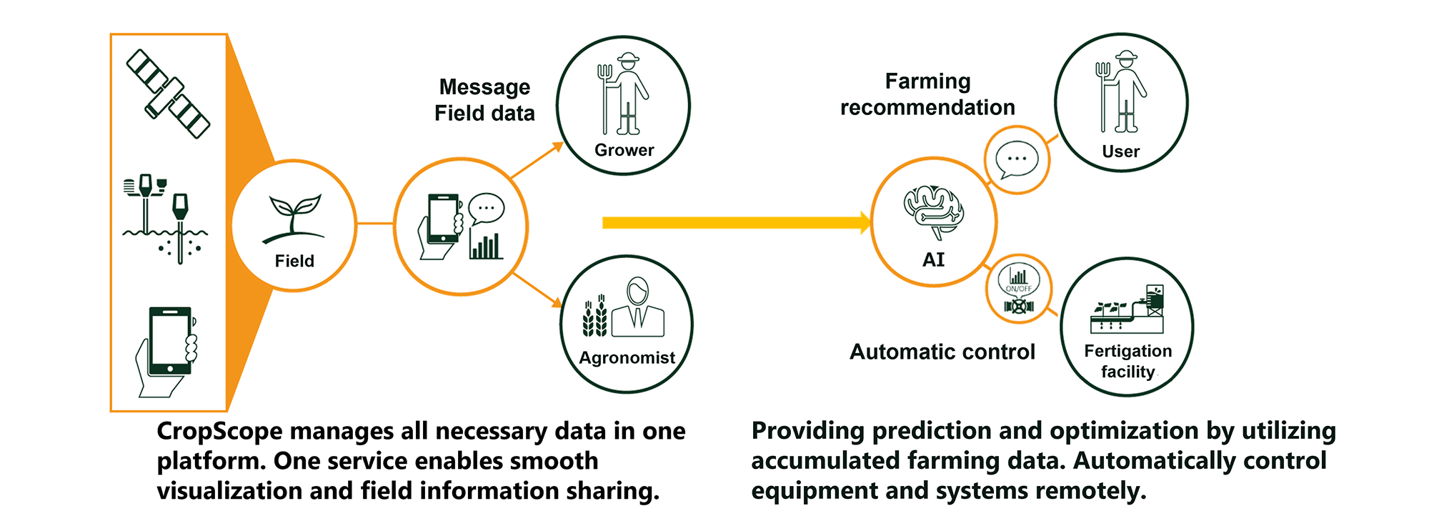
CropScope provides necessary functions for farming in one service, so data is not separate into different place. A variety of data can be aggregated into one service and linked with each field information for management. Users can keep track of field-specific information without using multiple devices or apps, and share work records and insights among stakeholders by instantly linking them to the each field. Furthermore, the accumulated farming data will be used to provide functions such as farming recommendations and automatic irrigation control.
Use Cases
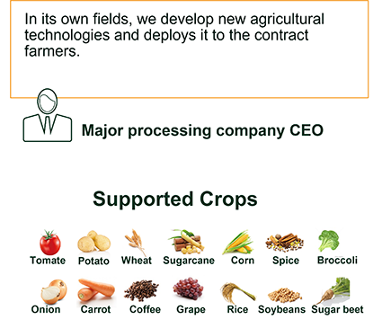
CropScope value delivers globally for various crops
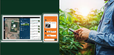
Share field problems in real time
![]() Alert messages with abnormally location brings you exact point in large area
Alert messages with abnormally location brings you exact point in large area
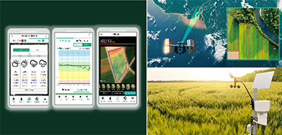
Field monitoring into farming suggestions
![]() Field environ data by remote sensing, satellite imagery and disease alert which you can utilize for making certain decision
Field environ data by remote sensing, satellite imagery and disease alert which you can utilize for making certain decision
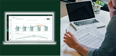
Field-to-field data comparison for crop growth and yield improvement
![]() By comparing differences in planting dates and different varieties based on the data, improvement measures can be considered for the next cultivation
By comparing differences in planting dates and different varieties based on the data, improvement measures can be considered for the next cultivation
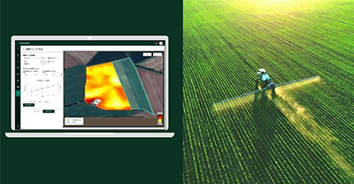
Variable fertilization based on soil nitrogen content and vegetation
![]() Easily create variable fertilizer application maps for base and supplemental fertilizers based on soil nitrogen content and crop growth data acquired as satellite data.
Easily create variable fertilizer application maps for base and supplemental fertilizers based on soil nitrogen content and crop growth data acquired as satellite data.![]() Contribute to reduced fertilizer application and increased yield
Contribute to reduced fertilizer application and increased yield![]() Propose fields where variable fertilization is effective
Propose fields where variable fertilization is effective
CropScope service menu
| Visualization Info sharing |
Field management | Satellite image(RGB, NDVI, Relative NDVI) Weather information(Forecast/Sensor data) Scouting information(Map/Comment/Alert) Farming record Comparative analysis Growing Degree Degree-days map |
|---|---|---|
| Disease management | Disease risk prediction | |
| Sensor monitoring | Soil moisture/temperature sensor Flowmeter | |
| Optimization Automation |
AI farming recommendation | Irrigation recommendation Nitrogen recommendation Dashboard for Agronomist |
| Variable fertilization | Fields evaluation Fertilizer Map Creation |
CropScope history
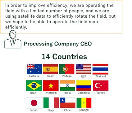
We are providing Cropscope service mainly to processing companies which manage and operate large-scale crop fields. Solving their challenges at both the crop production and the processing factory, from crop growing to harvesting.
- Result:Spain A company
Visualization of about 2,000 ha fields of 60 farmers, helping agronomists and producers to share the same data in real-time and day-to-day making efficient farming decisions.
Australia B company
We visualized about 1,000 ha fields of a multi crop processing company, by using sensor information to help their making decisions on daily farming activity.
Press release
- November 19, 2025
- October 22, 2025
- October 18, 2024
- November 8, 2023
- June 15, 2022
- June 7, 2021