Global Site
Breadcrumb navigation
3D-LiDAR and 3D water level measurement technology:
Measuring changes in tidal level with high safety and accuracy from a distance
Featured Technologies July 16, 2024

Tidal level is a key indicator for making decisions in the event of natural disasters such as earthquakes and typhoons. Today in Japan, there are 70 tidal stations under the authority of the Meteorological Agency and many others situated along the coast of Japan for continuous observation. At the same time, the coast is at greater risk of disasters, which can be a problem for stable observation. In response to this issue, NEC recently developed a technology that enables for high accuracy observation of tidal level even at any locations several hundred meters away from the coast. We spoke with the researchers about the details of this technology, including its benefits.
Learning from the 2024 Noto Peninsula Earthquake

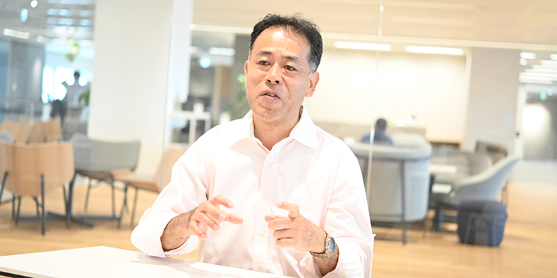
Lead Research Engineer
Junichi Abe
—What kind of technology is the Tidal Level Distance Observation Technology using 3D water level measurement?
Abe: Drawing on 3D-LiDAR*, a laser-based detection and ranging technique, our new technology enables tidal level observation even at any locations several hundred meters away from the coast. This technology is developed to detect and determine risks of tsunami in the wake of earthquakes in real-time with high accuracy.
There are currently 70 tidal stations in Japan under the authority of the Meteorological Agency, 69 of which are using the radio-wave method. With this method, a deep vertical hole is dug about 20 meters deep in the coastal area, to dig a tunnel leading from the bottom of that hole to the ocean. Upon creating the same water level as the seacoast inside the tidal station, radio waves are radiated from straight above the vertical hole to measure distance with its reflection.
However, at the time of Noto Peninsula Earthquake in 2024, the sea floor uplift that occurred within 200 meters off the coast near the tidal station prevented accurate tidal level measurement, causing a lot of time to restore its function.
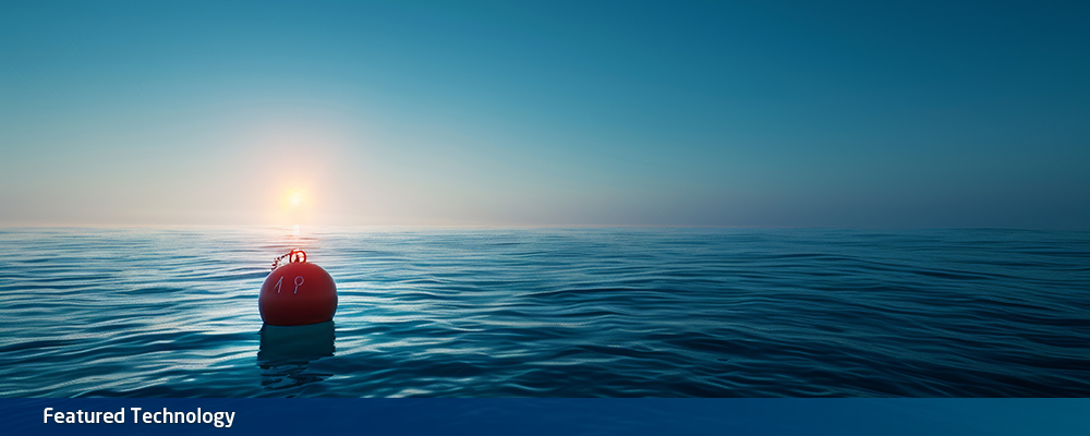
Fujimoto: We were thinking what we can do with the long-distance 3D-LiDAR, NEC’s proprietary technology, for this issue, and that’s how the new technology came to be. The teams had many discussions and came up with the idea to capture a buoy on the ocean surface using 3D-LiDAR from a location at least 200 meters away from the coast where there is less risk of an uplift and measure the distance to that buoy.
Abe: 3D-LiDAR can be used day and night since it uses infrared. It can also sense its surroundings as 3D point cloud data, which can be used to compare normal-time data regularly acquired with disaster-time data so that ground and road damage conditions can be quickly acquired. The data also has a potential to be effectively used for transporting supplies and managing evacuation centers and shelters.
Furthermore, there is no need to dig holes and tunnels like the conventional way when starting up the tidal station, which is a great advantage in keeping down costs. Since all you need is a 3D-LiDAR system and a computer, you don’t even need to build a new tidal station―you can set it up in an existing office building far from the coast.
Fujimoto: You can go as far as to say that you can establish a new observation base by just carrying the 3D-LiDAR system, portable battery, a laptop, and a tripod in a backpack in the event of a disaster.
- *3D-LiDAR (Light Detection And Ranging)
NEC’s proprietary 3D-LiDAR detects an inch-size object from a kilometer afar

Researcher
Tatsuya Fujimoto
―Is there anything special to NEC about the 3D-LiDAR used in this technology?
Abe: Yes. The high accuracy measurement capability over long distances is in fact a feature of the 3D-LiDAR that NEC has been developing since 2017 as a pioneer in this technology. It adopts the digital coherent technology that NEC has established while developing the optical communications technology. This technology senses and uses lightwave phase in addition to light intensity. As it needs to calculate multiple complicated information contained in light, it can measure distance with higher sensitivity compared to standard 3D-LiDAR. While standard 3D-LiDAR covers an observation range of 100 to 200 meters, NEC’s 3D-LiDAR can reach up to 1 kilometer. This time, with the measurement of a buoy on ocean surface, it can measure from a distance of about 500 meters with practical accuracy.
Fujimoto: In fact, in April 2022, NEC has successfully completed demonstration experiments using 3D-LiDAR that concern detecting foreign objects such as screws and bolts on the runways of the Nanki-Shirahama Airport. In most applications, 3D-LiDAR is commonly used for detection of moving objects, such as autonomous driving vehicles and humans. NEC, on the other hand, has continued to brush up its originality of long-distance, high accuracy measurement, specifically the detection of centimeter-order objects from hundreds of meters away.
Abe: NEC also has original know-how in terms of analysis of sensed point cloud data. In addition to foreign object detection on runways, NEC has developed other point cloud analysis applications that are optimized to specific purposes for different sites, such as facility monitoring, not to mention this tidal level observation application. Such practical know-how also showcases NEC’s exclusive originality.
―What made it possible for NEC to develop this technology?
Abe: As I mentioned earlier, NEC has experience of R&D and business in optical communications. Actually, most team members including myself have experience doing research in the field of communications. Optical communications is an area where the knowledge and know-how of hardware development speaks the loudest. Such product-making skills are not easily passed on to others. By infusing our individual findings in communications, we were able to input digital coherent transmission and other communications techniques into the new technology.
Fujimoto: Another factor can be that we complete the entire process up to engineering within the team. It allowed us to freely and swiftly customize data, which contributed to flexible development.
First demonstration experiment in June 2024

―Tell us about the future prospects of this technology.
Abe: In June 2024, we conducted a demonstration experiment that involves tidal level observation at the Port of Tokyo. First, we want to demonstrate its successful results and effectiveness so that we can make proposals to other local governments and the Meteorological Agency.
Fujimoto: For this project, we are focusing on applying this technology to tidal level observation. However, since our 3D-LiDAR features high mobility and limited restrictions regarding installation, we are also expecting huge potential in use cases such as quick detection of floods and potholes caused by natural disasters. In the future, we are hoping to extend this approach to prediction and estimation of damage and required construction scale using 3D models.
From a technical aspect, we are also looking into whether we can apply AI to point cloud analysis.
Abe: Yes. Point cloud analysis is an area that has not yet seen adoption of AI as much as in image analysis. I believe there is still a lot of room for evolution.
Additionally, we are exploring its combined use with visible light camera in terms of sensing. While 3D-LiDAR has excellent ranging properties and night-vision performance, it also has a downside of not showing information in an easy-to-understand manner to the human eye. In this respect, we have the advantage of having images from a normal visible light camera, which we will be able to combine to build a user-friendly interface that offers benefits from both technologies.
Please have expectations for our next developments.


The 3D-LiDAR technology is commonly acknowledged for its application to the detection of autonomous driving vehicles and humans. In contrast, NEC’s proprietary 3D-LiDAR features long-distance and high accuracy properties that achieves detection of centimeter-order objects at a distance of several hundred meters. In our recent research, we applied this technology to develop an application that enables stable tidal level measurement by measuring a buoy on ocean from afar, up to 500 meters away from the coast where there is a risk of surface uplift. While conventional-type tidal stations require major construction work that involves tunnel digging, this technology makes possible swift, low-cost establishment of a tidal station by simply placing the equipment at an existing building.
- ※The information posted on this page is the information at the time of publication.
