Global Site
Breadcrumb navigation
Identifying when salmons are coming with water temperature imaging
SHIKISAI, the earth observation satellite, surveys the earth’s vast oceans, and among its capabilities is monitoring sea surface temperature. Every two days, it observes the region around Japan. When viewed in image format, the sea surface temperature data from SHIKISAI reveals the complex way in which warm and cold seawater are distributed and interact. In the Pacific Ocean off Japan, the cold Oyashio current descends from the north and meets the warm Kuroshio current coming up from the south.
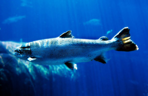
The Pacific waters of Aomori Prefecture are fishing grounds for salmon, one of the main species of migratory fish that arrive with the cold Oyashio current. Areas where two different currents meet tend to make good fishing grounds because they teem with the plankton on which fish feed. Satellite images can be useful for fishermen who fish in the abundunt waters around the boundary between two currents. They can also reveal other patterns. If the warm current is too strong, for example, the catch of salmon, a cold-water fish, might not be very good. Such data helps mitigate the risks of fishing. It is also important for fisheries to obtain information on the ever-changing ocean. Observation data of SHIKISAI can be obtained as frequently as once every two days, so that data can be immediately used by fisheries, such as actual fishing ground prediction, which is vital information for the industry.
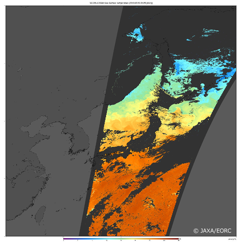
Image of sea surface temperature around the Japanese archipelago observed by SHIKISAI on September 25, 2019. From the Pacific Ocean (bottom), the Sea of Japan (middle), and the Sea of Okhotsk (top), distribution of warm waters shown in orange (around 25°C/77°F ) to cool waters shown in blue (around 5°C/41°F ) can be seen.
©JAXA/EORC
Interview and article by Ayano Akiyama
Published March 30, 2020